


Trip Report: Riding Big Sur
by Bill Heidler
On Sept. 27-30 I rode from Santa Cruz to San Luis Obispo via the Big Sur coast.
You can get to Santa Cruz via a tedious drive from North County, or by flying to San Jose and taking the Highway 17 bus down to the coast.
My first day ride was 50 fairly easy miles to Monterey, I camped in the Veteran’s Park up the hill from town. The spectacular scenery started the following day. I rode the 17-Mile Drive past Pebble Beach and other golf courses, then a late breakfast in Carmel, then on south. I had a strong tailwind and the hills that day weren’t that difficult.
The third day was much more challenging; starting from Pfeiffer Big Sur campground, there was a one and a half mile grade, then the road oscillated from altitudes of about 200 to 900 feet. I was lucky to have a beautiful day with fairly light traffic. Unfortunately, I got surprised after lunch, just north of the San Luis county line, by two more tough grades. I limped into the rest stop (first store and gas station in 25 miles) at Ragged Point nearly bonked. But a Coke, bag of Fritos, and powerful tailwind revived me and I made my destination at San Simeon State Beach.
I had enough energy left the next day to do some exploring, so instead of continuing down the coast the “easy” way on Hwy 1, from Cambria I took Santa Rosa Creek Road. It was beautiful and nearly deserted until I met a group of Mtn bikers, one of whom said the road got real steep and by the way how did I think I was going to get to SLO?
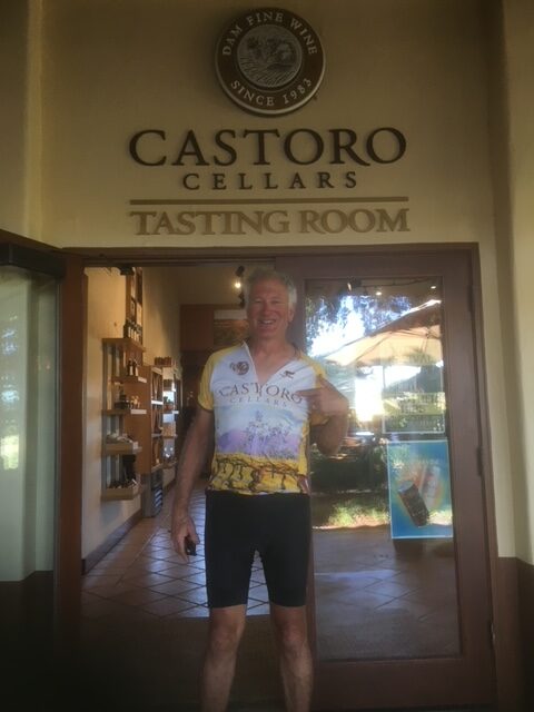
My plan was to hit a winery near Paso Robles then go down the Cuesta Grade on Hwy 101. If you go up that way, I recommend Santa Rosa Creek Rd (even though I had to walk the steep part), I recommend Paso Robles wineries, but I definitely do not recommend descending Cuesta Grade. I’m still trying to figure out an alternative.